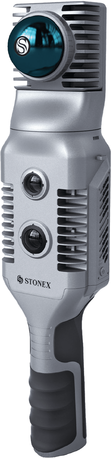
Rugged Precision with SLAM LiDAR
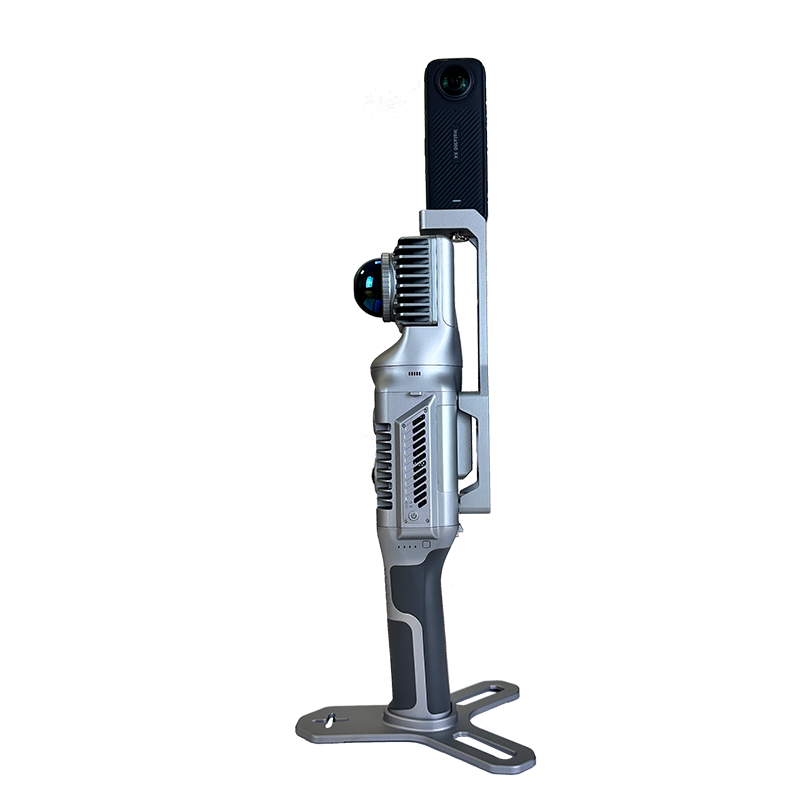
The Stonex X70Go SLAM LiDAR system is built for those who need fast, accurate 3D mapping without the fluff. Using advanced SLAM (Simultaneous Localisation and Mapping) tech, the X70Go captures detailed 3D models of any environment—be it tunnels, caves, or construction sites. With its laser sensor measuring distances to objects and an onboard processor tracking movement, this powerhouse delivers reliable results wherever you need them. the X70Go Standard package is $20,000 exGST and includes Hard shell protective case, Handle with the internal Lithium ion battery Base plate to support the X70Go and for GCP survey,AC Wall charger and power cable
GO App for Android tablet, GOpost software and a USB dongle Calibration test report.
Simplify Your Survey Workflow
In just the time it takes to walk a site, you’ll have a comprehensive 3D map ready to go. No multiple scan stations. No delays. Just grab it, move, and map. Whether it’s accident scenes, underground mining, or site surveys, the X70Go is your rugged solution.
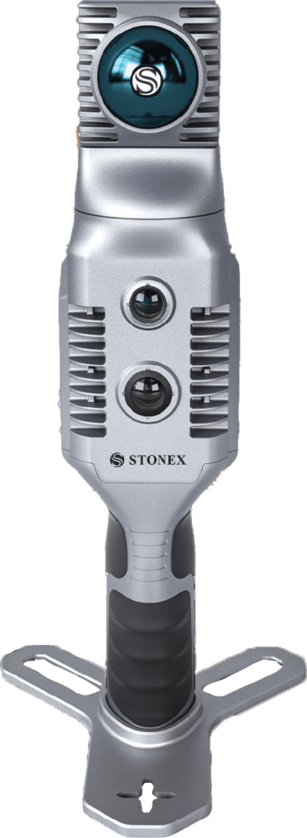

Built Tough for Real-World Demands
The X70Go works hard so you don’t have to. Set it on a tripod for detailed scans or carry it for mobile mapping—it’s versatile and fast. With built-in processing, the X70Go churns out a 3D point cloud (LAS file) right on-site, saving time and cutting down on extra gear. Check your progress live with the included Android app, ensuring nothing gets missed.
Vibrant Data Capture
With two integrated cameras, you’ll capture vibrant, coloured point cloud imagery alongside panoramic visuals. Add in reference points for geo-referenced data that’s ready to integrate into real-world coordinates.
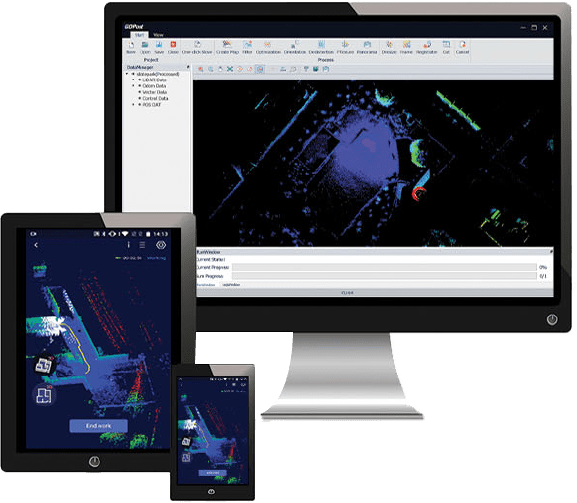
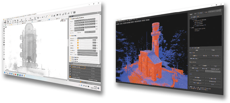
Software That Works as Hard as You Do
-
GO App
Manage scans, preview images, and upgrade firmware—all on-site using Android devices.
-
GOpost
Post-process raw data into polished, high-precision point clouds and panoramas.
-
Create accurate maps and models, compatible with third-party systems.
-
Seamlessly evaluate and work with point cloud data for CAD and BIM workflows.
-
Align and optimise point clouds with expandable features for complex projects.
Unmatched Data Control
The X70Go, paired with its powerful software suite, ensures your data is captured with unmatched precision every time. When accuracy is non-negotiable, trust in the X70Go to deliver results. Contact us now to learn more about how the X70Go can enhance your data capture capabilities.

| laser Scan Performance | |
|---|---|
| Maximum range | 70 metres |
| Minimum range | 0.1 metres |
| Relative Accuracy | up to 6mm in controlled enviro. |
| Vertical Resolution | 16 channels |
| No. of points per second | 200,000 points |
| Field of View | 360° horizontal and -7° to 52° vertical |
| Laser Class | Class 1. |
| Echo Strength | 8 bits |
| System Specification | |
|---|---|
| Memory | 512Gb SSD |
| Operating Mode | SLAM mode and Static mode (X-Whizz) |
| Processing mode | Real time processing and Post processing. |
| Power Specification | |
|---|---|
| Power Consumption | 20 Watts |
| Operating Time | 1.5 hours |
| Capacity | 3,000 milli Amp hours |
| camera Performance | |
|---|---|
| Resolution | 12 Megapixels |
| Diagonal FOV | 100° |
| Focal length | 3.24 mm |
| Sensor size | 1 inch |
| Pixel size | 1.55 |
| Physical Specs. | |
|---|---|
| Weight | 1.45 kg |
| Size | 365mm x 174mm x 170mm |
| Operating Temp. | -20°C to 50°C |
| Operating Humidity | < 95% Relative Humidity |
| Waterproof / Dustproof | IP54 rating |
| X70Go Accessories | AUD exGST |
|---|---|
| Monopod stand for X70Go | $100.00 |
| RTK module for the the X70Go | $4,000.00 |
| Backpack frame for the RTK module | $2,200.00 |
| Battery handle for the X70Go – spare | $800.00 |
| GOpost software dongle key – replacement | $380.00 |
Frequently Asked Questions for X70Go SLAM LiDAR
The Stonex X70GO is a handheld SLAM‑based 3D laser scanner designed for fast indoor and outdoor mapping. It captures high‑density point clouds without requiring GNSS, making it ideal for complex or GNSS‑denied environments.
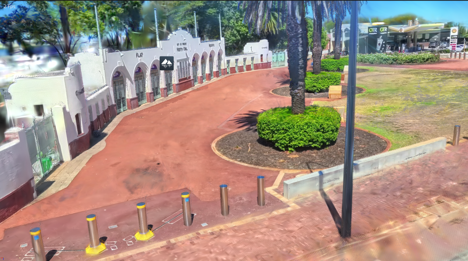
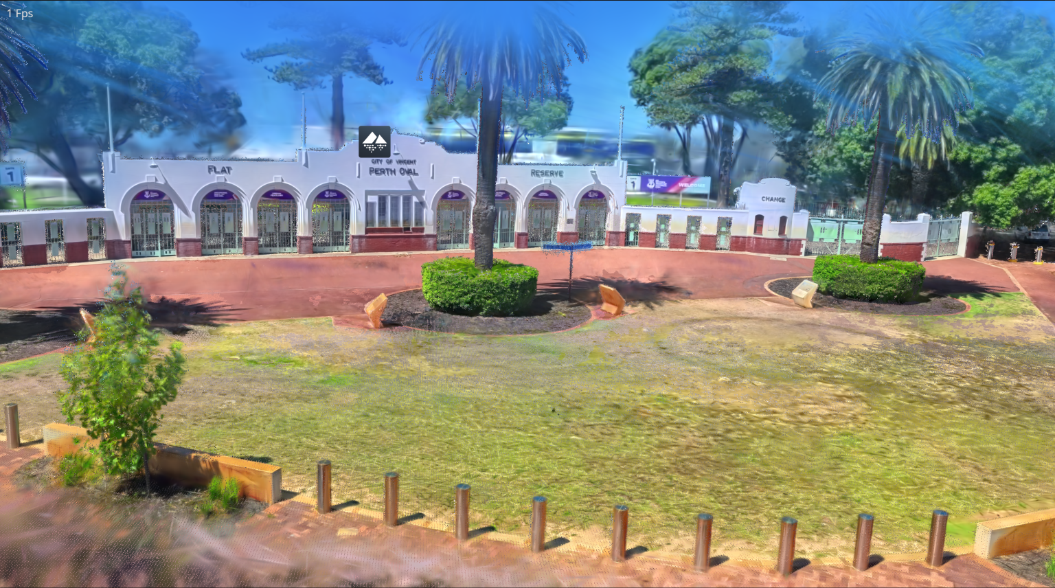
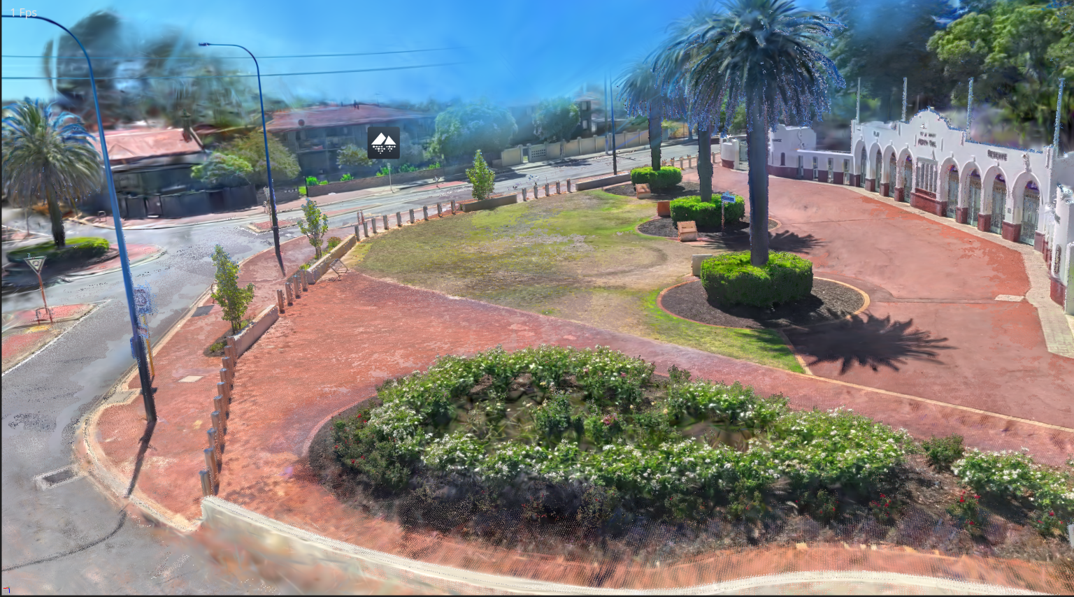
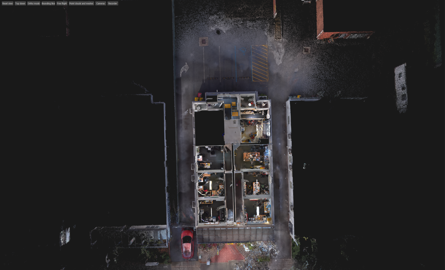
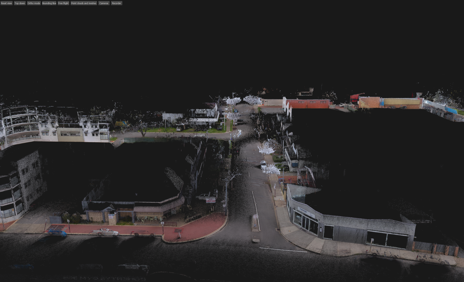
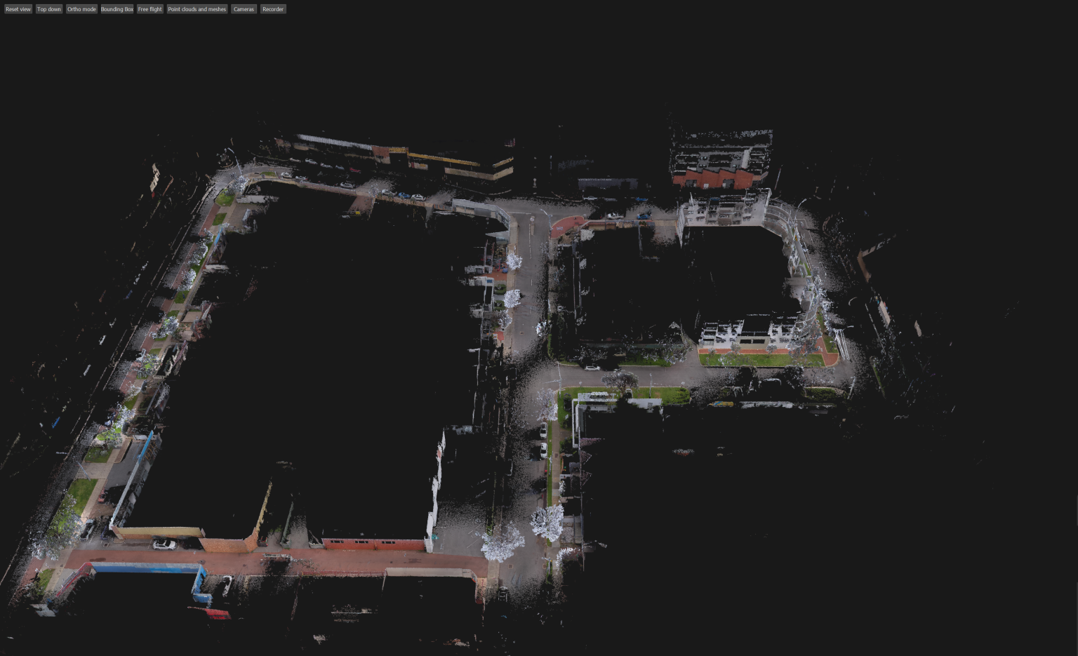
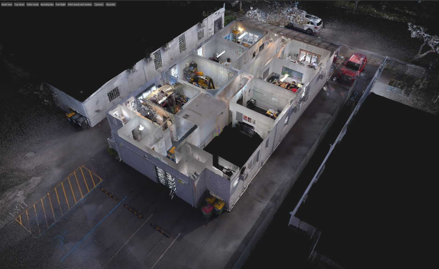
Examples of Point Clouds Captured with the Stonex X70 Go
The Stonex X70GO offers a fast, flexible alternative to traditional terrestrial laser scanners by combining SLAM mobility with high‑quality LiDAR capture. Unlike static scanners that require multiple tripod setups, targets, and long acquisition times, the X70GO allows operators to walk through an environment and capture data continuously, dramatically reducing field time. Its lightweight handheld design makes it ideal for indoor mapping, tight spaces, multi‑level structures, and rapid site documentation where moving a tripod is slow or impractical.
While terrestrial scanners excel in ultra‑high‑precision static measurements, the X70GO provides efficient, real‑world productivity, delivering dense point clouds suitable for BIM, facility management, construction verification, and asset documentation. For teams needing speed, mobility, and ease of use, the X70GO offers a powerful and cost‑effective solution that complements or replaces traditional static scanning workflows. To see how it works, please watch this video.
Gaussian Splat Creation with the Stonex X70GO
The Stonex X70GO now supports direct generation of Gaussian Splat models using Stonex GOpost, without the need for any third‑party processing tools. After capturing an interior or structured environment with the X70GO, the SLAM‑based point‑cloud data and panoramic imagery are processed entirely within GOpost for optimisation, colourisation, alignment, and Gaussian Splat creation.
GOpost can now export the final Gaussian Splat output in .ply format, enabling a streamlined, end‑to‑end workflow using only the default Stonex software. This enhanced process transforms fast, mobile SLAM capture into immersive, photorealistic 3D scenes ideal for building documentation, facility mapping, and digital‑twin applications.