
Drone Surveying
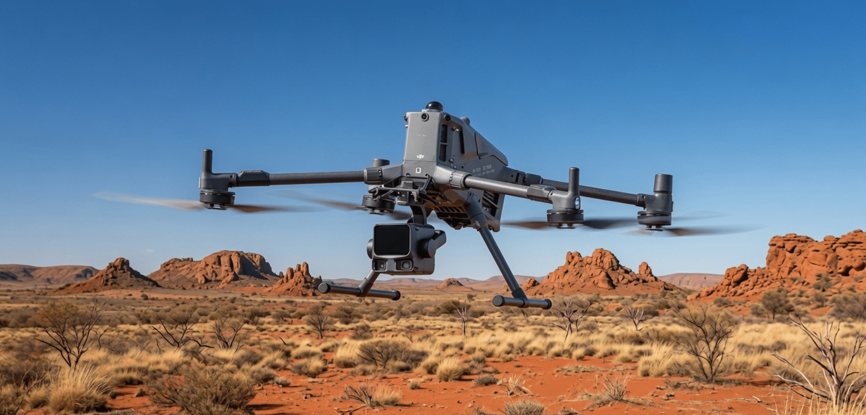
We provides high‑accuracy drone surveying services using the DJI Matrice 400 platform paired with an Zenmuse L3 LiDAR sensor, delivering dense, survey‑grade point clouds for engineering, construction, mining, and asset‑inspection projects. This aerial LiDAR workflow captures millions of points per second, enabling precise terrain modelling, corridor mapping, stockpile volumetrics, and detailed topographic surveys even in areas with heavy vegetation or limited ground access. All datasets are processed in professional software to produce clean, georeferenced outputs—including DTMs, DSMs, contours, and classified point clouds—ready for CAD, GIS, and digital‑twin applications.
Zenmuse L3
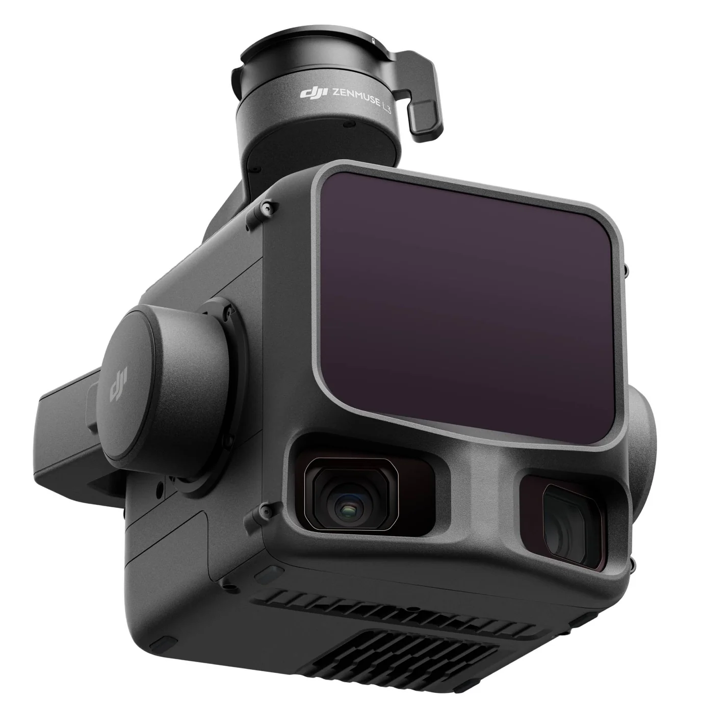
The Zenmuse L3 is a high‑precision LiDAR payload featuring triple‑return laser scanning, an integrated global‑shutter RGB camera, and tightly coupled GNSS/INS for accurate, dense point‑cloud generation. Designed for the DJI Matrice series, it delivers reliable terrain mapping, vegetation penetration, and real‑time point‑cloud preview for fast, survey‑grade data capture..
LiDAR hire and data processing service
Navaids provides a complete LiDAR hire and data‑processing service, offering access to the full range of Stonex LiDAR solutions—including the X70GO, X120GO, X120GO_v2, and the XVS VSLAM system—along with all required accessories for seamless field deployment. Whether clients need short‑term hire for a specific project or ongoing support, we ensure reliable, high‑quality capture capabilities. In addition to equipment hire, we deliver advanced data‑processing services for both point clouds and Gaussian Splat visualisations. Our workflow is powered by industry‑leading software such as Stonex GOpost, Stonex Cube 3D, Carlson Civil Suite, and PostShot, enabling us to produce accurate, clean, and visually rich datasets tailored to survey, engineering, and digital‑twin applications.
Stonex LiDAR Solutions for Hire
Description + Accessories list
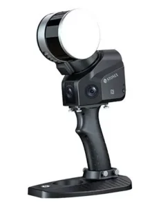
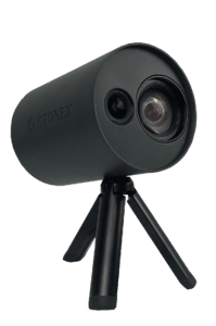
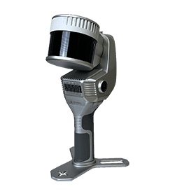
Stonex X70GO is a compact, high‑accuracy handheld SLAM scanner with a 70 m range, 200,000 pts/s capture rate, and a 360°×(–7° to 52°) field of view supported by dual 12 MP cameras for colourised imaging. It delivers 6 mm accuracy, 512 GB SSD storage, IP54 protection, and operates in SLAM or X‑Whizz modes with GOpost processing. The system includes a battery handle, high‑speed USB‑C cable, and rugged transport case, with an optional Insta360 camera for enhanced panoramic imagery and Gaussian Splats.
Hire rate per day is $250 exGST.
Stonex X120GO is a high‑precision handheld SLAM scanner with a 120 m range, 360°×270° coverage, and triple 5 MP cameras for semi‑spherical imagery and colourised point clouds. It captures 320,000 pts/s with up to 6 mm accuracy and supports real‑time preview via GOapp and advanced processing in GOpost. The system includes a handheld or backpack mount, a four‑battery power set with charger, high‑speed data cables, and a rugged transport case for reliable field operation
Hire rate per day is $300 exGST.
It can be vehicle mounted for no extra cost.
Stonex XVS is a lightweight visual‑SLAM photogrammetry scanner that captures high‑resolution images and uses inertial sensors and advanced algorithms to generate accurate, scaled 3D models while walking through a scene. It provides real‑time trajectory guidance and delivers 2–3 mm accuracy at close range. The system includes a telescopic pole for elevated or hard‑to‑reach scanning, a protective transport case, and a Windows 11 tablet with XVScloud, enabling seamless online processing of point clouds and mesh models for a complete field‑to‑office workflow.
Hire rate per day is $225 exGST.
Stonex X120GO v2 is a next‑generation handheld SLAM scanner with a 120 m range, 360°×290° coverage, and Hesai XT16/XT32 LiDAR options delivering up to 1.28 M pts/s. Dual 12 MP panoramic cameras and an integrated GNSS receiver provide real‑time colourised, oriented point clouds. It supports SLAM and X‑Whizz static scans, offers 512 GB SSD storage, IP54 protection, and a full accessory ecosystem including backpack, vehicle, and UAV mounts. An optional Insta360 camera enhances panoramic capture for Gaussian Splat workflows.
Hire rate per day is $300 exGST.
Point Cloud processing service
Point Cloud processing service using Cube-3d and Carlson Civil Suite software. We can create orthophotos from aerial photos. Register and align different point clouds from the same project area into one geo‑referenced 3D model. Cube‑3D has automatic GCP detection, classification, cross‑sections, contour lines, mesh generation, CAD editing, and volume calculations.
Our fast computer uses the latest Nvidia RTX 5090 Graphics card with 32Gb of RAM.
Please contact us for more information and for quote on your project.